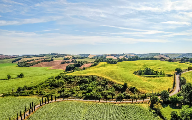
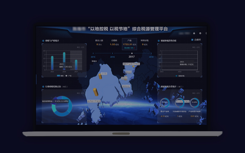
Natural resources investigation, monitoring and evaluation and cultivated land protection
Natural resources investigation, monitoring and evaluation cloud platform
—
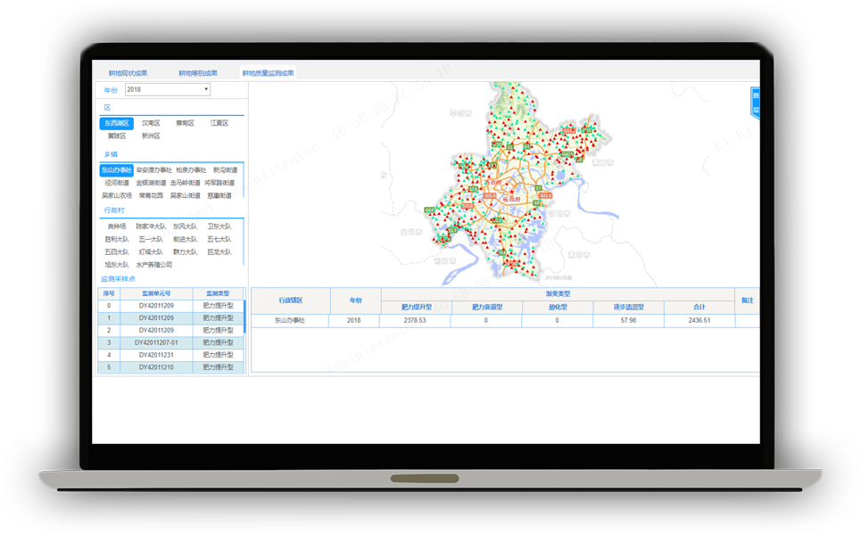
Concept: Through the establishment of an “outer space, sky and earth” integrated investigation and all-weather monitoring and early warning perception system inclusive of satellite remote sensing, UAV and ground patrol, we will build “a base plate, a set of data and a platform” required for natural resource management, so as to solve the problems of various systems, unknown and unclear base number and uncertain base plate in terms of natural resource investigation, and realize the long-term governance of cultivated land protection.
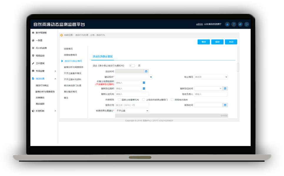
Business module
Law Enforcement Supervision
Natural resources law enforcement supervision platform
—
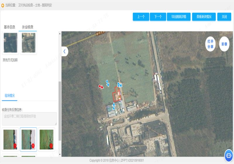
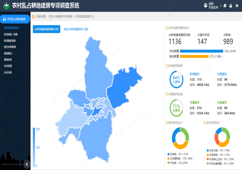
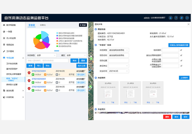
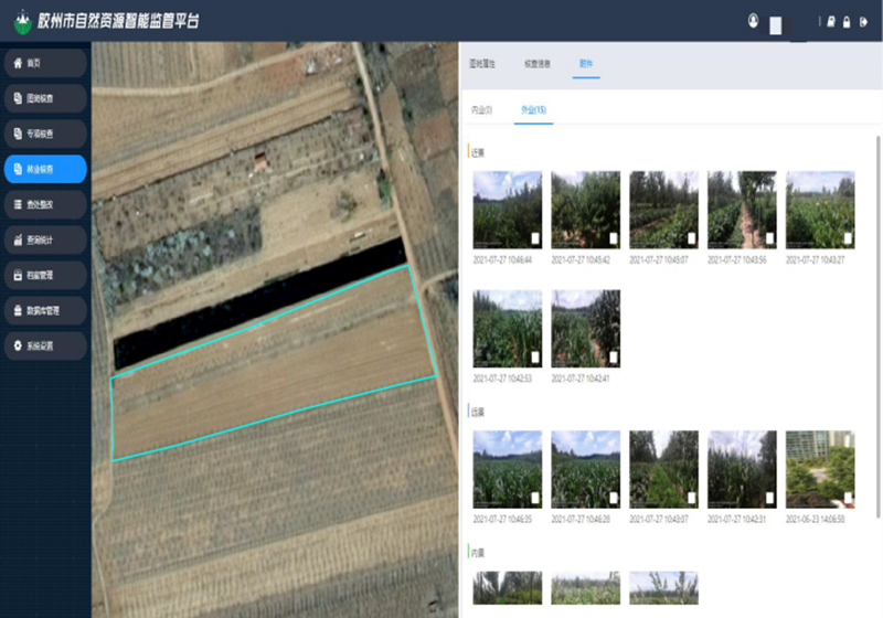
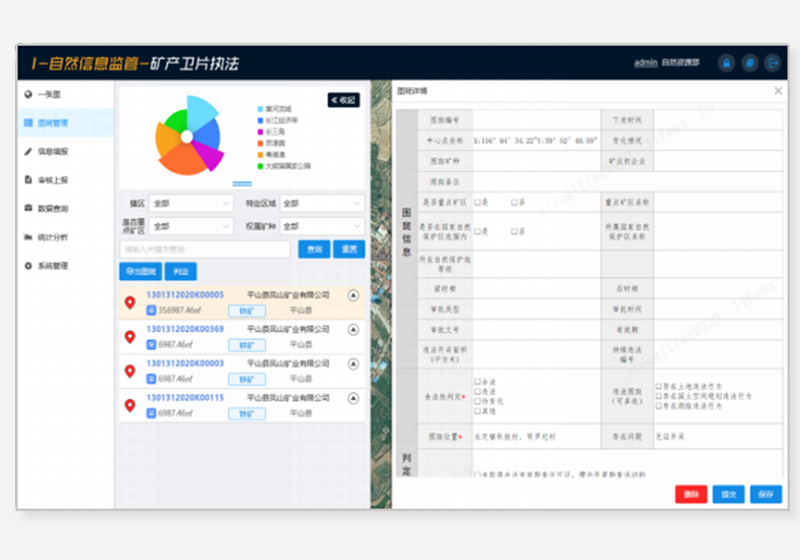
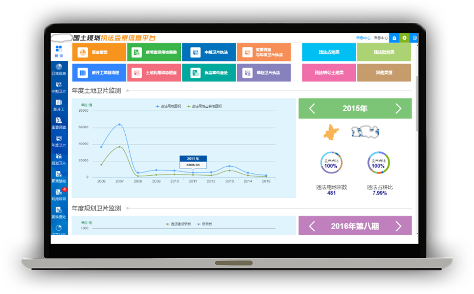
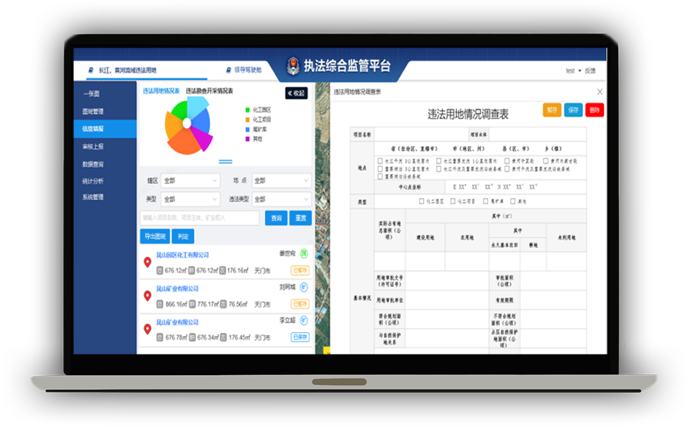
We establish a new model of real-time monitoring and accurate supervision, through the use of advanced technical means such as 3S, satellite remote sensing, UAV, video monitoring, field verification terminal and AI, so as to carry out intelligent all-weather supervision against illegal acts of natural resources, including automatic comparison and analysis of changes, self-inspection and return, achievement verification, etc., which will effectively improve the response and disposal ability of law enforcement of natural resources, timely and effectively curb the erosion of natural resources such as adding construction land and destructing permanent prime farmland, and realize the “early detection, early prevention and strict investigation” of illegal acts of natural resources.
National land and space planning and use control
Land use control and cultivated land protection management platform
—
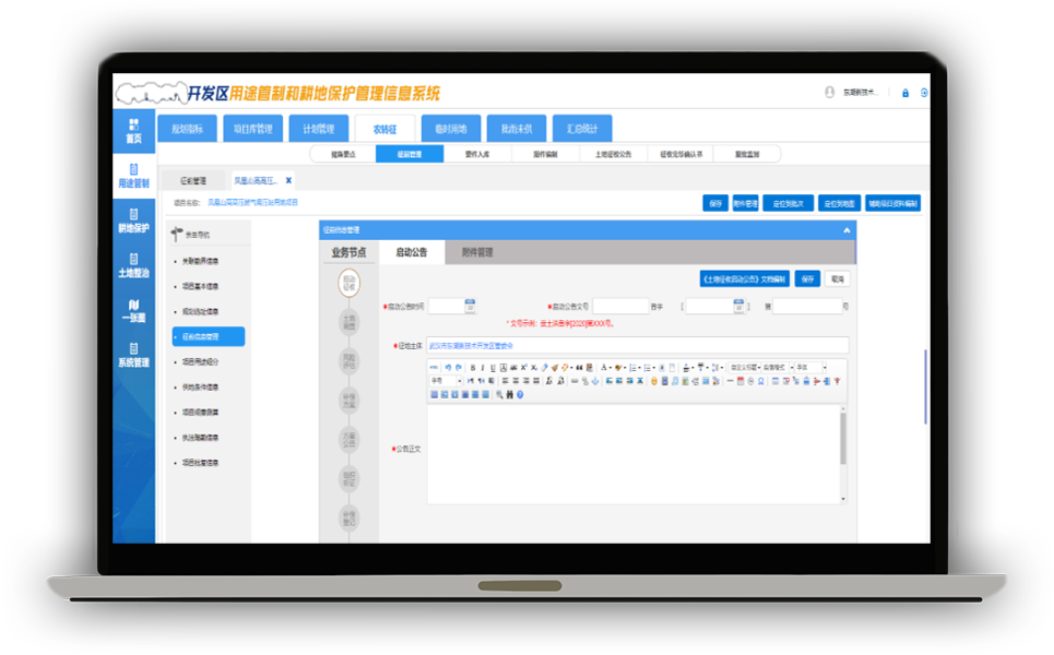
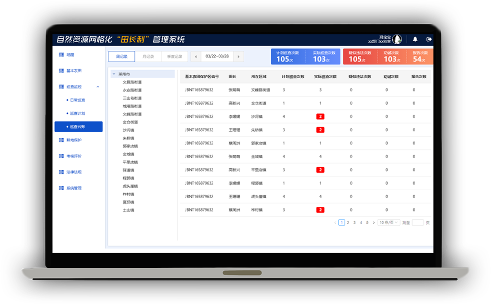
A whole-life-cycle use control management system focusing on “planning scheme management, space access, use conversion, approval and permit” will be established to solve the problems such as the separation among natural resource ecosystems, insufficient adaptation of land use control means to the changing needs of natural resources, and insufficient flexibility of space management.
Natural resource assets and equity management
State-owned asset management platform
—
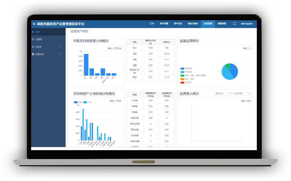
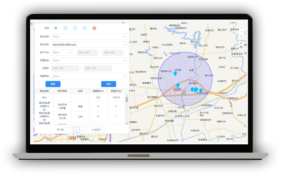
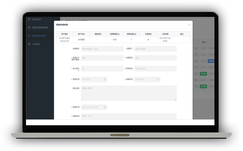
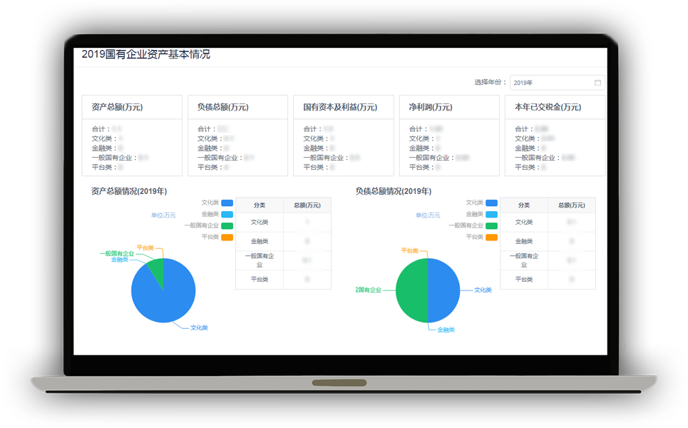
Build a full caliber database covering the assets of administrative institutions, state-owned natural resources, municipal public resources and assets of state-owned enterprises; establish core applications such as asset management, asset positioning, government public property warehouse, operation management and data filling; and provide state-owned assets operation management and decision support services through the platform.
Natural resource assets and equity management
Natural resource assets and equity management
—
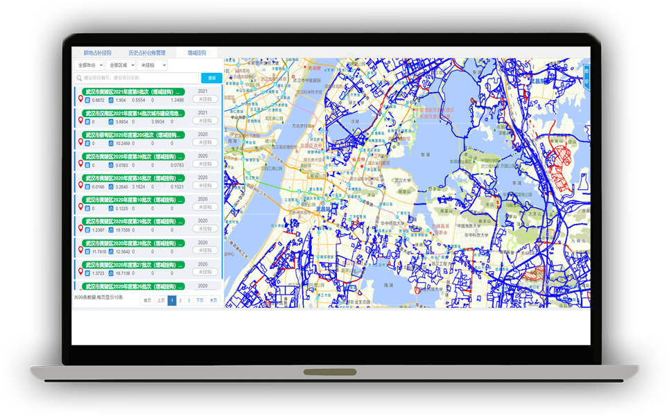
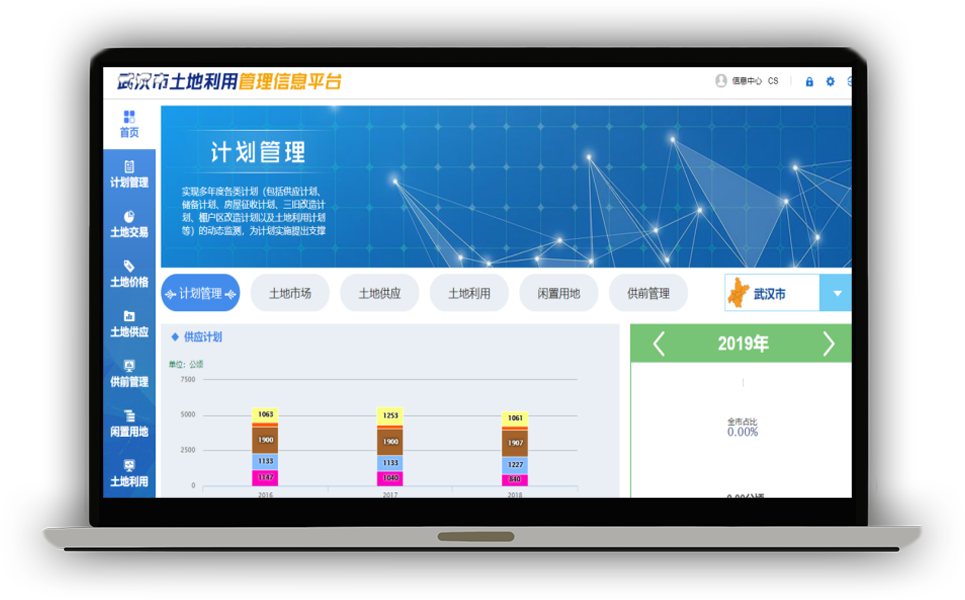
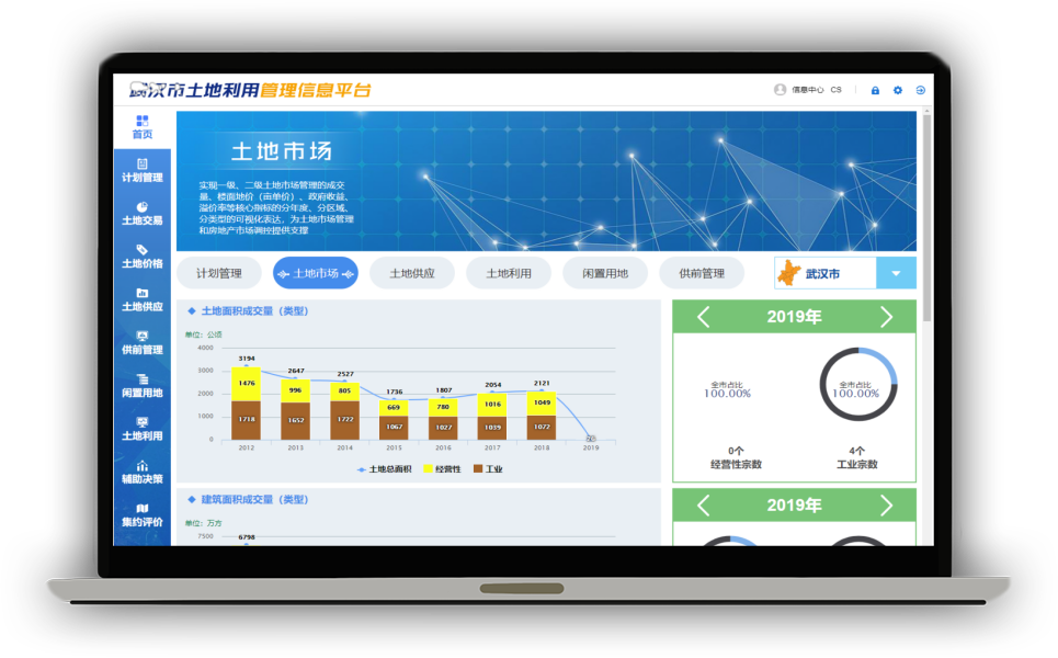
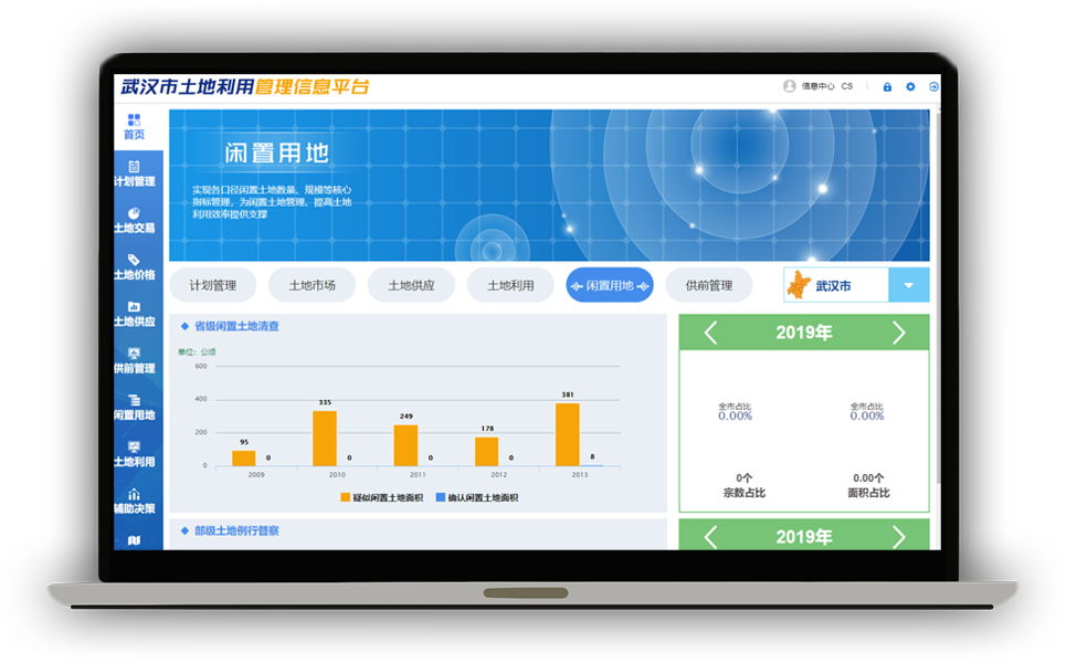
Through the full life cycle supervision of new land projects, idle land early warning and evaluation of intensive land use, one may (i) solve the problems of imperfect land market management mechanism, the phenomenon of “emphasizing approval while neglecting supervision, emphasizing supply while neglecting development and utilization” in land management , and low conservative and intensive level of land use, etc., (ii) facilitate the research and prediction of the development trend of land market, and (iii) promote the optimal allocation of land resources.
Real estate registration
Real estate registration management information platform
—
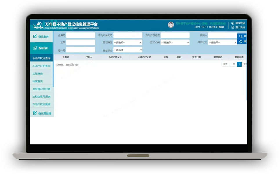
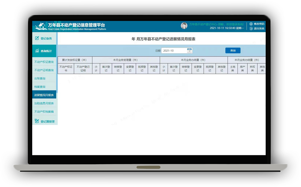
Real estate registration will be under fine, dynamic and centralized management, if it is based on the e-government platform and geographic information system platform, and taking the national unified real estate registration database standard as the core.


