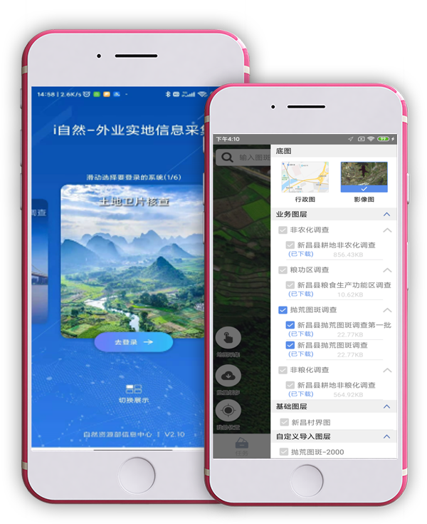
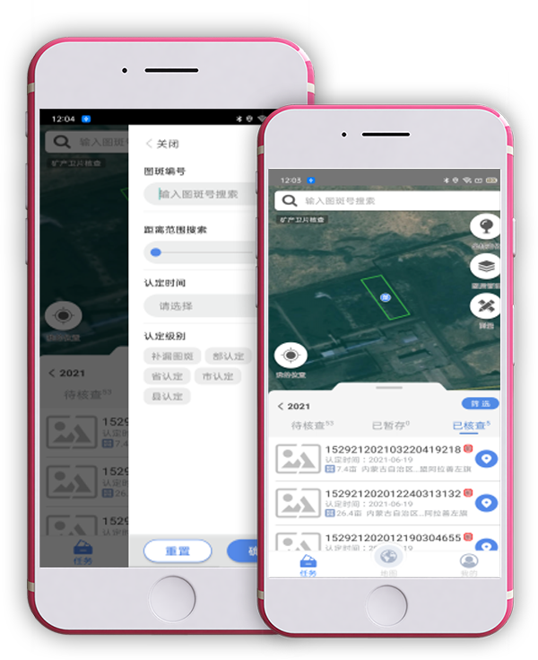
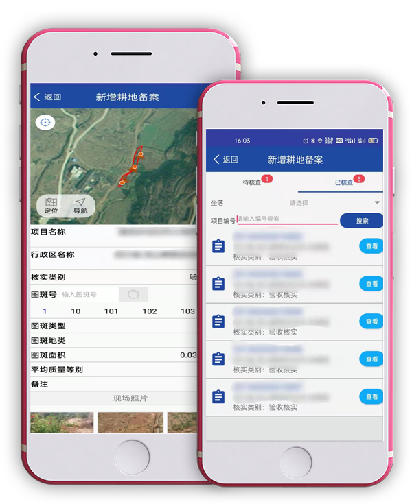
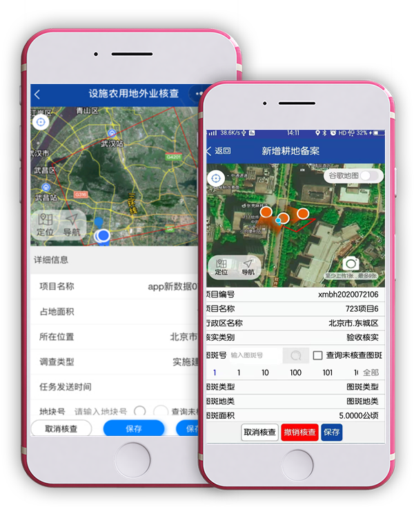
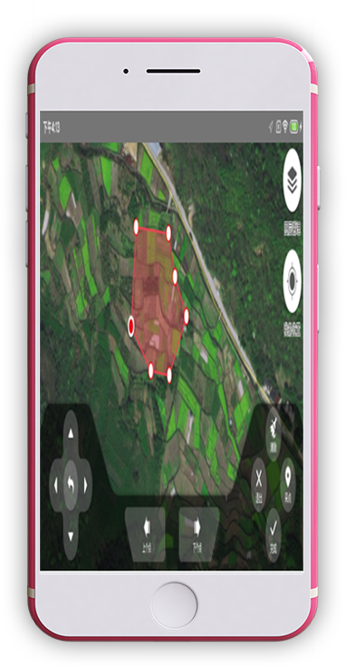
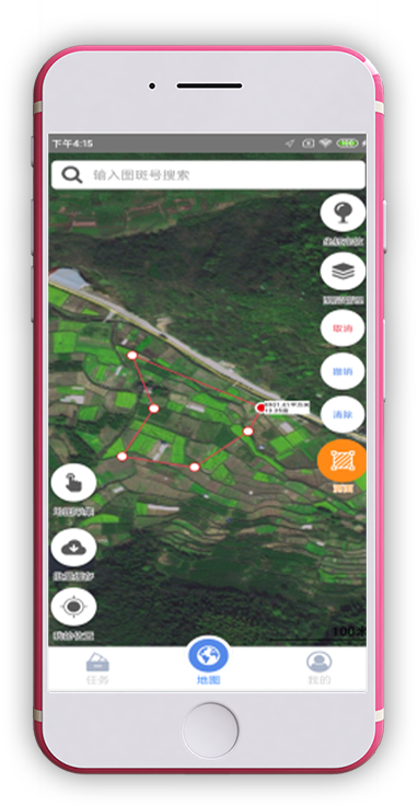
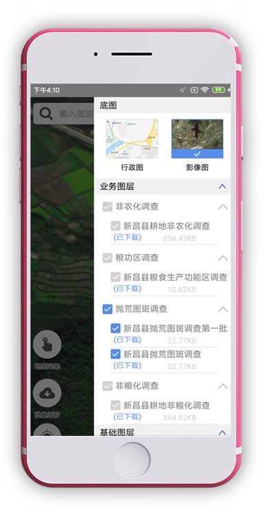
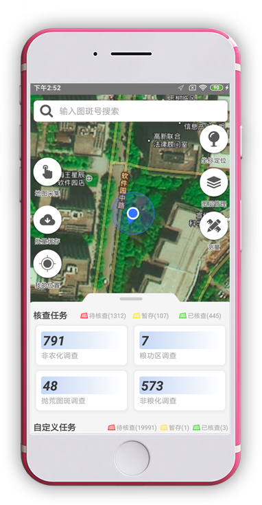
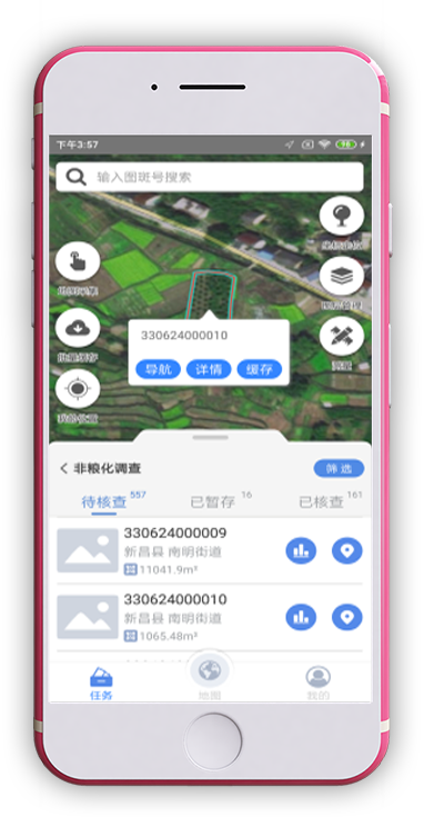
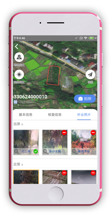
Mobile terminal
—
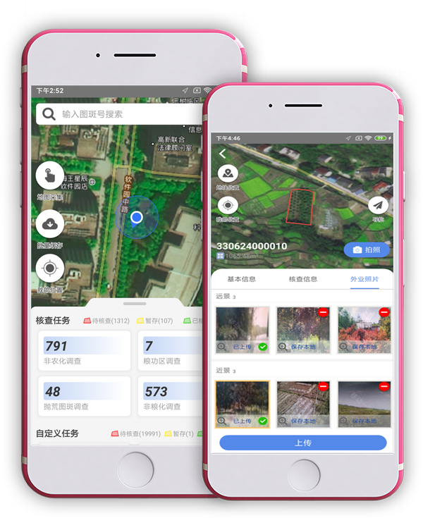
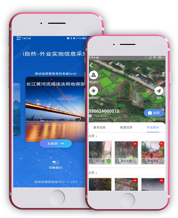
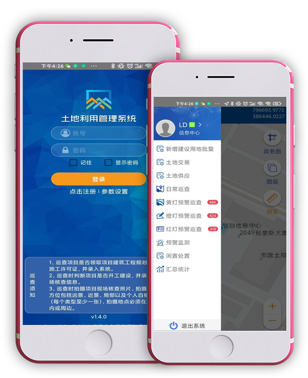
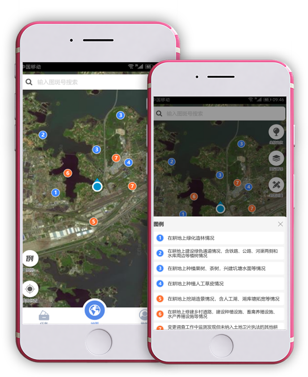
Based on the actual work needs of natural resource management, and in order to innovate the mode of natural resource supervision, improve the efficiency of natural resource management, and realize the standardization, visualization, convenience and efficiency of field work of natural resources, mobile terminal(s) integrating different business modules will be built, so as to establish a long-term mechanism of natural resource ecological management.
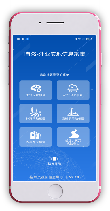
“One Map” mobile platform of natural resources
—
To provide a set of mobile “one map” office supervision platform with comprehensive data and the functions of management and inquiry, which is safe and convenient to use, so as to meet the requirements of natural resource management at all levels


